Mysterious Manta Movements
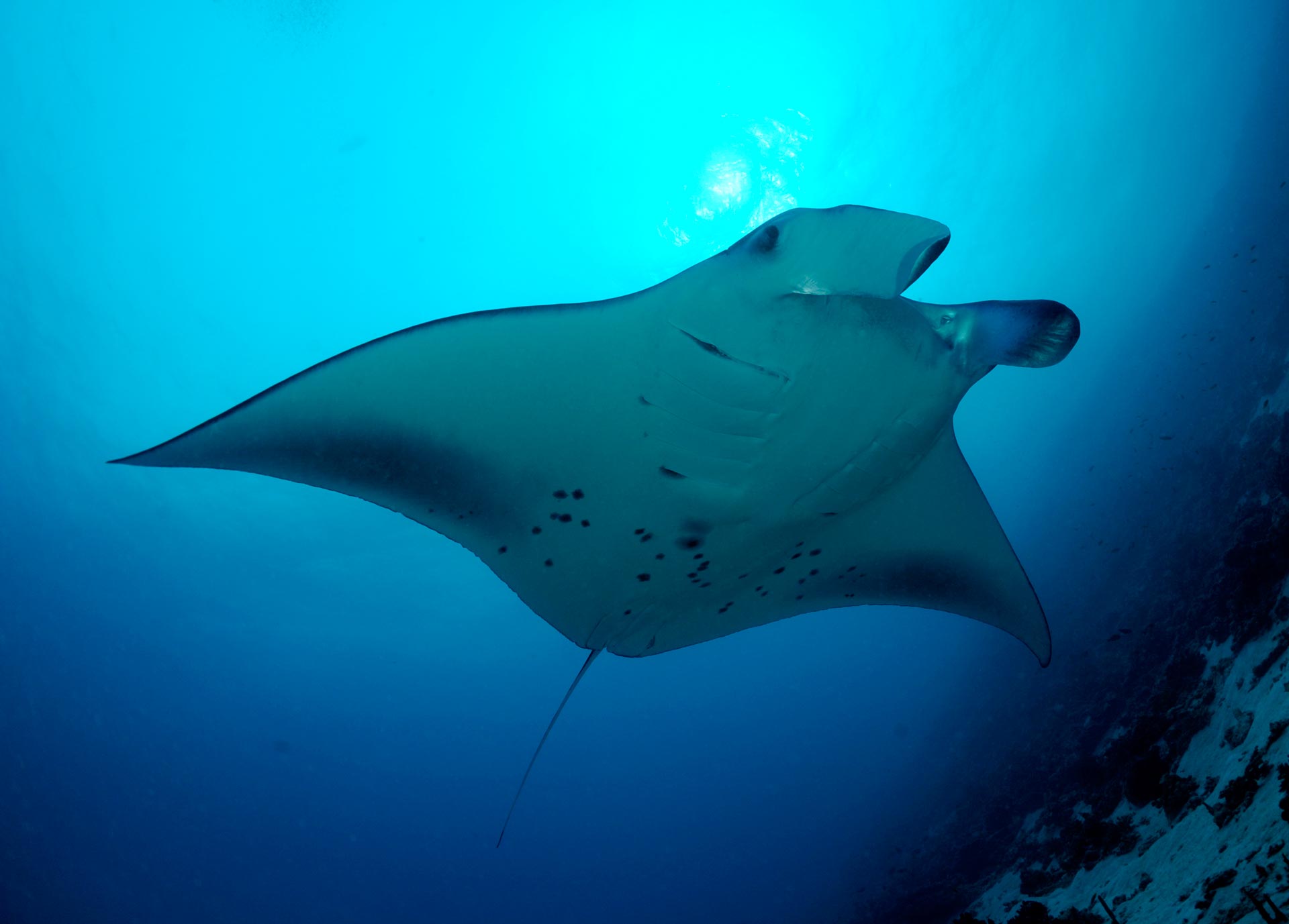
One of the most exciting aspects of conducting marine research is that you can be studying animals that are up to five metres across and have no idea where they are, where they go or why they choose to visit one location over another. Reef manta rays (Manta alfredi) are known to visit the waters around D’Arros Island and St Joseph Atoll throughout the year – with sightings increasing during the warmer months and subsiding over winter – but when they leave the shallow waters of these islands, the Seychelles Manta Ray Project (SMRP) team is left wondering where they travel to.

Photo by Guy Stevens | © Manta Trust
How do you follow a manta ray across an ocean?
To discover how reef manta rays are using the waters of D’Arros Island, as well as if they travel throughout all 115 islands of the Seychelles, the SMRP team will be using a combination of acoustic and satellite tags to track the movements of manta rays on both local and broad scales. The data we collect will highlight the areas that are most frequently used by these manta rays and enable us to develop more effective conservation strategies to protect their populations long into the future.

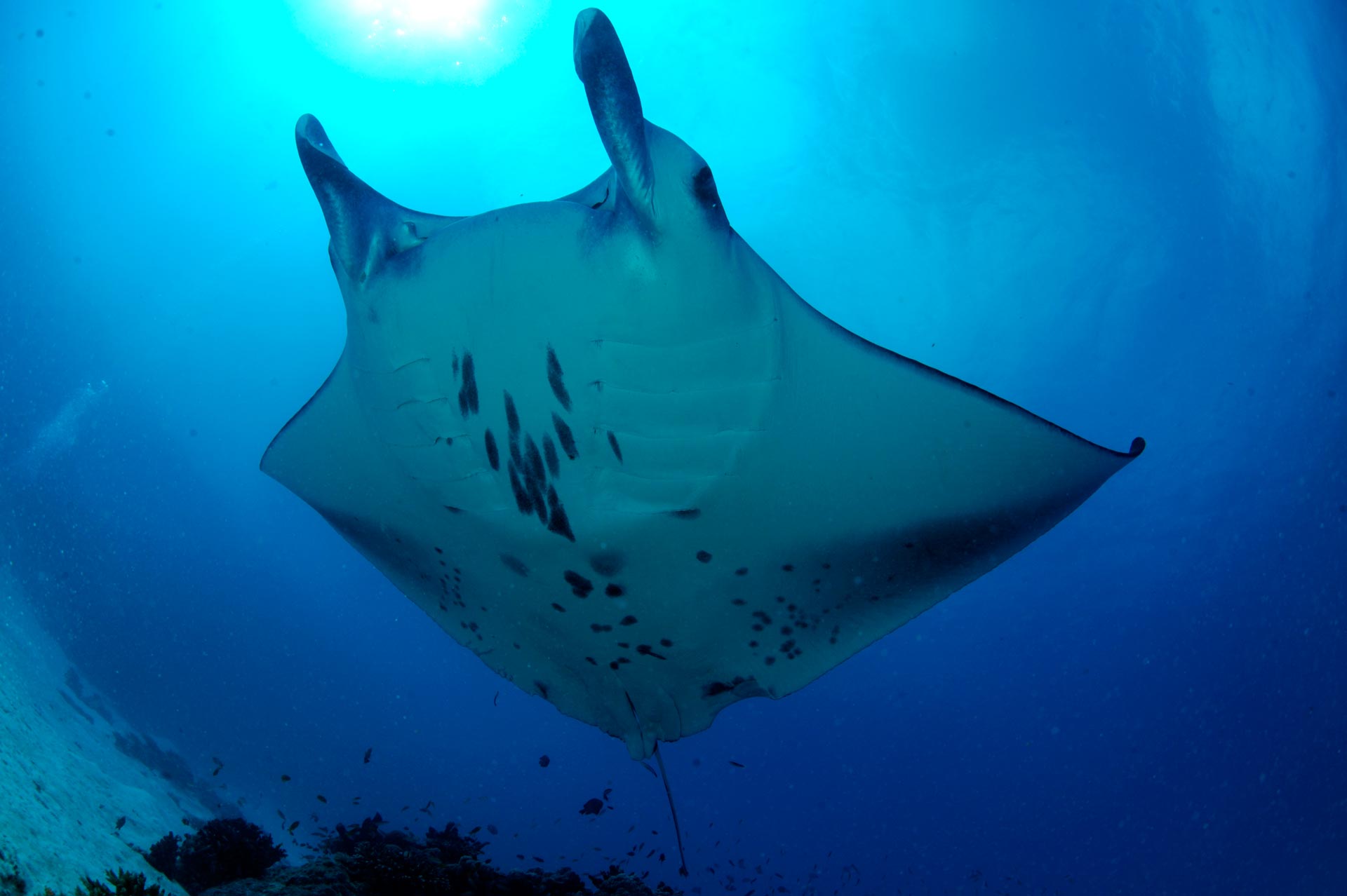
A reef manta ray glides over a member of the research team. Photo by Guy Stevens | © Manta Trust
Acoustic tags | Local movements
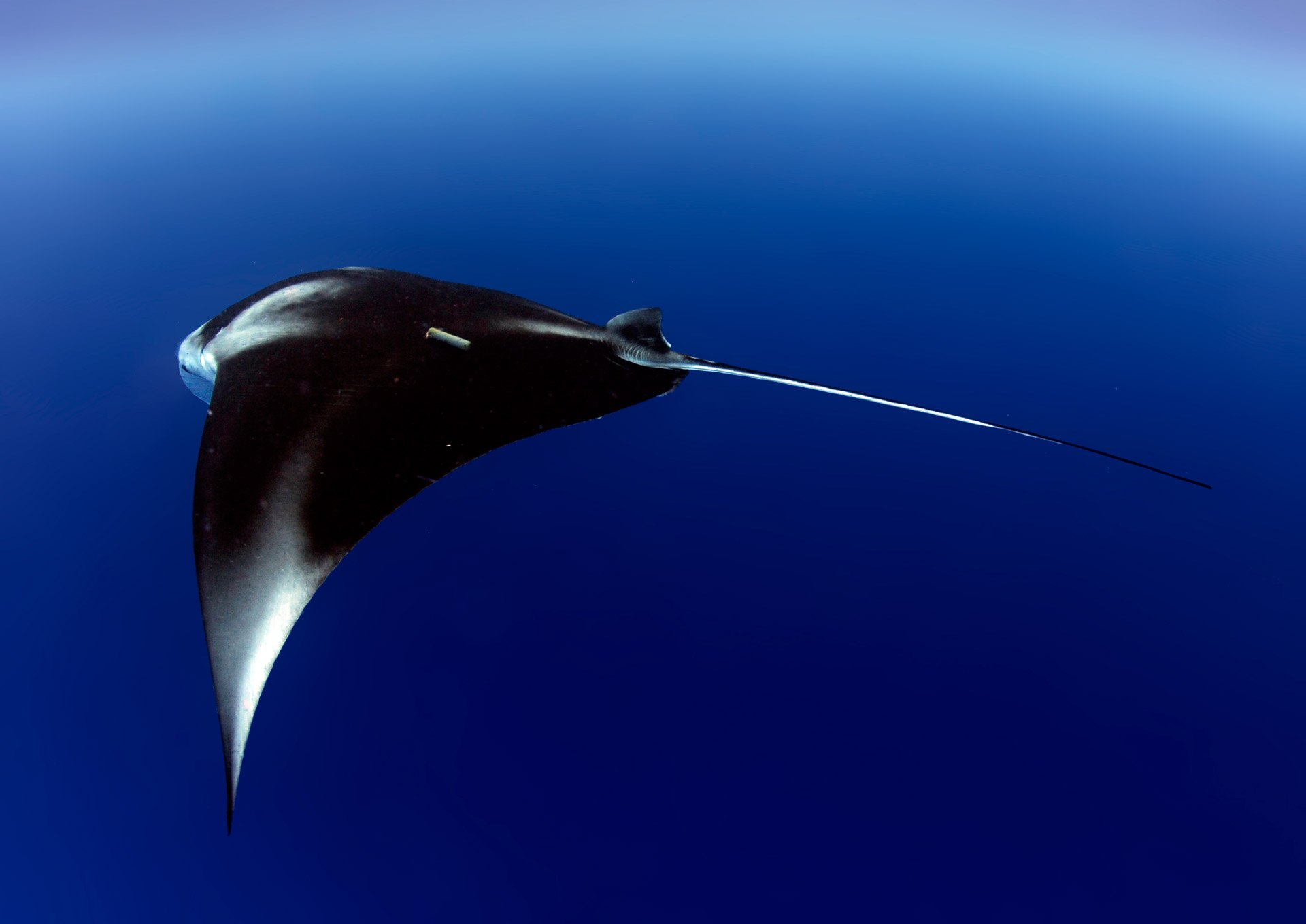
Acoustic tags will reveal the local residency patterns of reef manta rays around D’Arros Island and through the Amirante Island group of the Seychelles. Once attached to the dorsal surface of a manta ray (see images below), each acoustic tag will transmit a unique signal underwater that can be detected and recorded by devices called acoustic receivers. When a tagged animal swims within the detection range of a receiver, the ID of the manta ray and the date and time of the detection is recorded and stored by the device. This process is repeated for as long as the tag is on the manta ray. A large number of acoustic receivers have already been deployed around D’Arros Island and at key sites along the Amirantes Bank. The research team is excited to see what data they can collect when the tags are deployed in November – but what happens if the animals swim out of range of all our receivers?

An acoustically tagged reef manta ray. Photo by Guy Stevens | © Manta Trust
Satellite tags | Broad-scale movements
This is where the satellite tags come in. In contrast to the acoustic tags, satellite tags can track the movement of manta rays outside the range of receiver arrays and this is because satellite tags are able to transmit data back to the research team via satellite. Reef manta rays have never been satellite tagged in the Seychelles before, and it is hoped that the tags that we deploy in November will reveal just how far these mantas are moving throughout the waters of the Seychelles and even through the Indian Ocean as a whole.

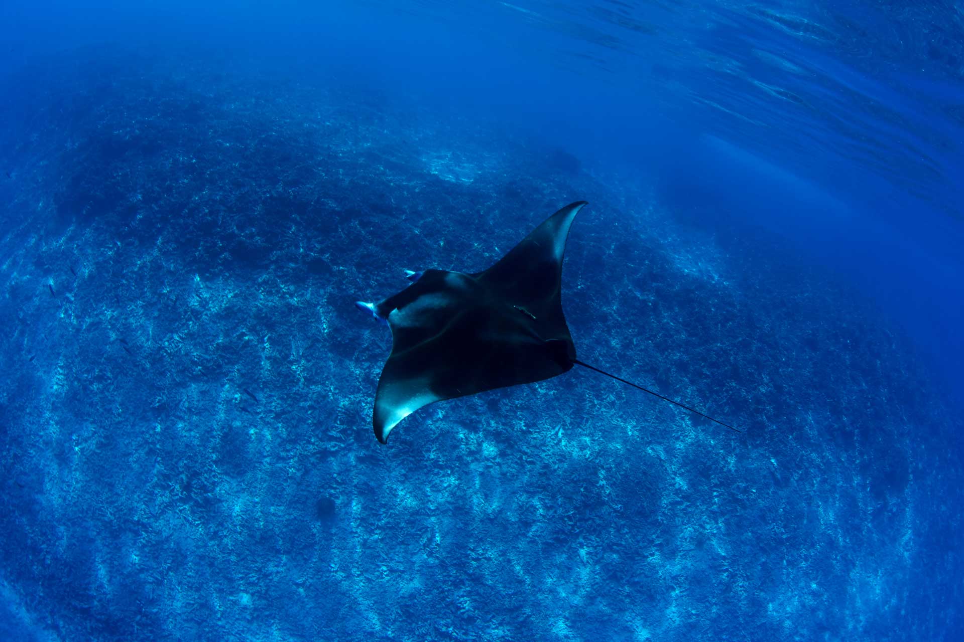
An acoustically tagged manta ray swims into the blue. Photo by Rainer von Brandis | © Save Our Seas Foundation
It’s going to be an exciting year for the Seychelles Manta Ray Project; stay tuned for updates on how our manta rays are moving!
