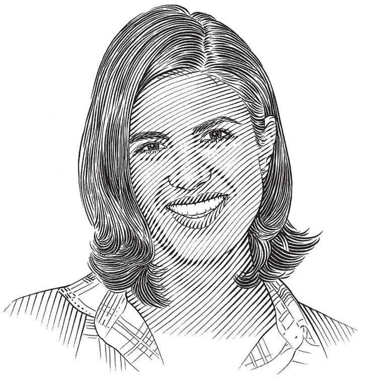
Giulia Cerritelli

Who I am
I graduated in conservation biology and recently enrolled in a PhD course at the University of Pisa. I’ve always been interested in animal behaviour and for the preparation of my MSc thesis I started to work on sea turtles, tracking the movements of loggerheads Caretta caretta in the Mediterranean Sea by satellite. The research project of my PhD is on the spatial behaviour of turtles and birds, especially in relation to environmental conditions, with the aim of understanding how the environment influences an animal’s choices.
Where I work
My current activities are mainly computer based, analysing satellite-tracking data and mapping environmental parameters in relation to animal movements. Most of my working time is spent at the Department of Biology in Pisa, but now and then I travel to various parts of Italy to attach satellite tags to turtles at rescue centres and to help release rehabilitated turtles. These occasions are very important because they give me the opportunity to meet interested people and to explain my work and why it is so important to manage and protect sea turtles.
What I do
So far I’m using the Argos satellite system (http://www.argos-system.org/) to track sea turtles. Although this is the best tracking technology at present, it still has a number of limitations, especially for marine animals. The main problems relate to precision and the number of positions that can be obtained in this way. The accuracy of Argos localisations is inherently rather poor (error about 150–1,000 metres, or 490–3,280 feet, depending on the number of satellites connecting with the transmitter) and the transmitters can only send signals when the animal surfaces, which greatly limits the amount of data we can obtain. These problems can be overcome by using combined GPS–Argos transmitters that acquire GPS positions and relay them to satellites, thus using Argos only as an information channel. Even this approach has its limitations: from experience, we estimate that only 30% of GPS locations reach the user through the Argos channel.
