The Gulf of Gabès: The major landing area of sharks and rays in Tunisia
The Gulf of Gabès (33°-35°N and 10°-12.5°E) is characterized by shallow waters with a wide continental shelf. The area is one of the most productive areas of the Western Mediterranean Sea, as this area contains the most extended and continuous Neptune Grass (Posidonia oceanica) meadow. The Gulf of Gabès is an Ecologically or Biologically Significant Marine Area. In the area, 29 shark and 21 batoid species have been recorded till present, most of them found in favorable conditions to reproduce and develop. The Gulf of Gabès contributed by more than 60% in the landing of elasmobranchs in Tunisia.
The region is known to be an important habitat for sharks and batoids and a reproductive area for several species such as the Sandbar Shark (Carcharhinus plumbeus), the Blackchin Guitarfish (Glaucostegus cemiculus) the common Guitarfish (Rhinobatos rhinobatos), the Common Smoothhound (Mustelus mustelus), the stingrays Dasyatis spp….
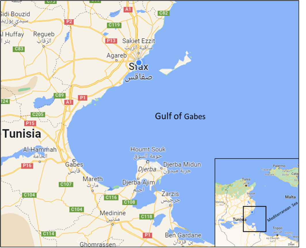
Gulf of Gabes (Google maps)
The maritime fishing units active in the Gulf of Gabès region are 6,284 small-scale vessels, 213 benthic trawlers and 130 seiners. These units generally fished to the waters of the continental shelf shallower than 100 m which threatens elasmobranchs because of the considerable spatial overlap in fishing activity and several shark and batoid species distributions. Then, elasmobranchs are caught accidentally by all fishing gears along the year and as a targeted species by a specific gillnet during the summer. Captured elasmobranch species are usually landed and sold for local consumption.
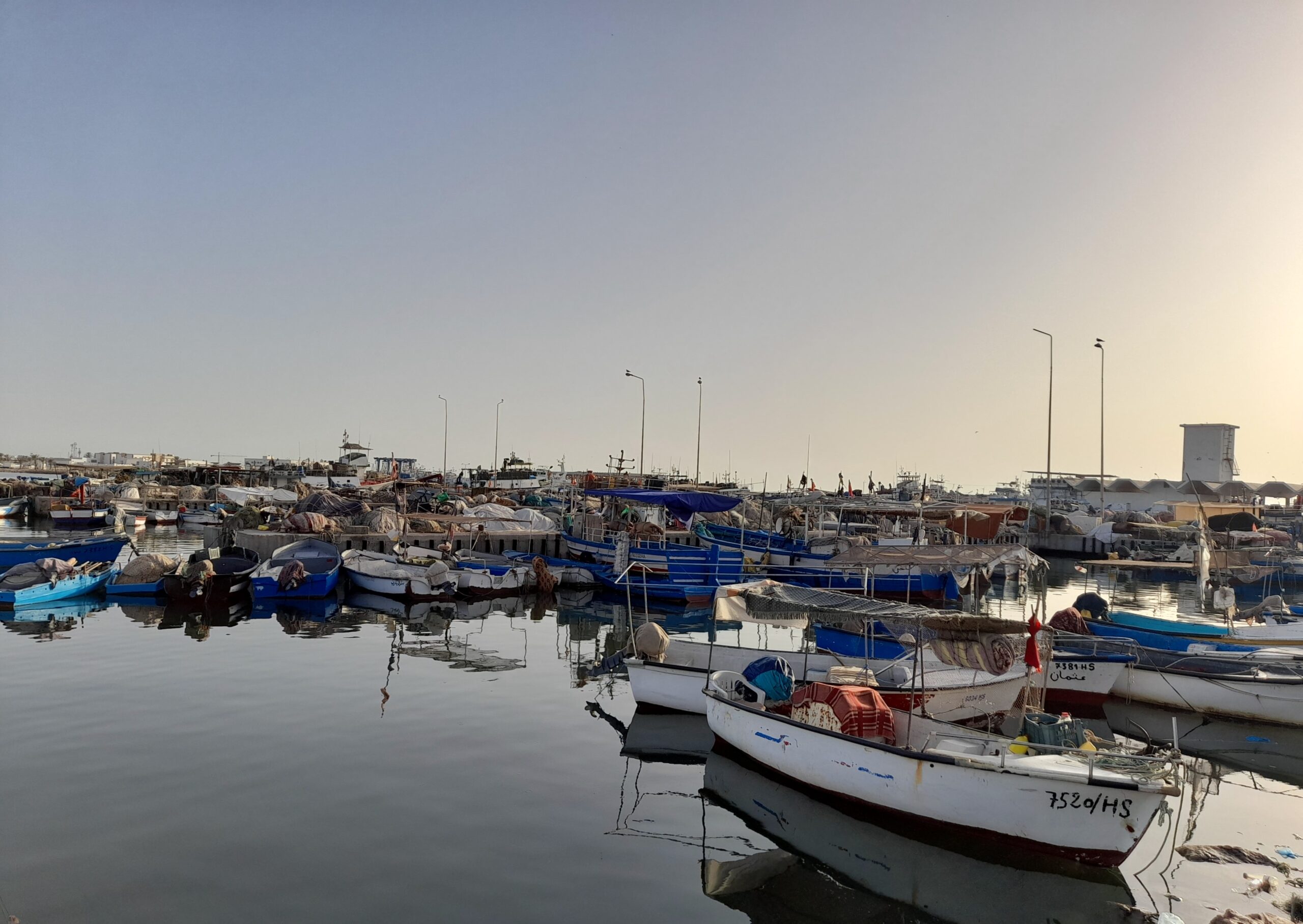
Active coastal boats in the port of Zarzis. Photo © Rihab Louhichi
There is a significant number of sharks and batoids being landed daily. Furthermore, landing trends indicated a clear decrease in catch rates of elasmobranchs in the area. However, there is limited, precise, documented information on the catch rates, species composition, and quantities landed in the area. The situation has driven an urgent need for increased conservation and management of these creatures in the area. Thus, basic information on the catch, distribution and habitat preferences of common species is essential for their management and protection. To achieve these objectives, we collect data via questionnaires, landings analysis, and onboard surveys.
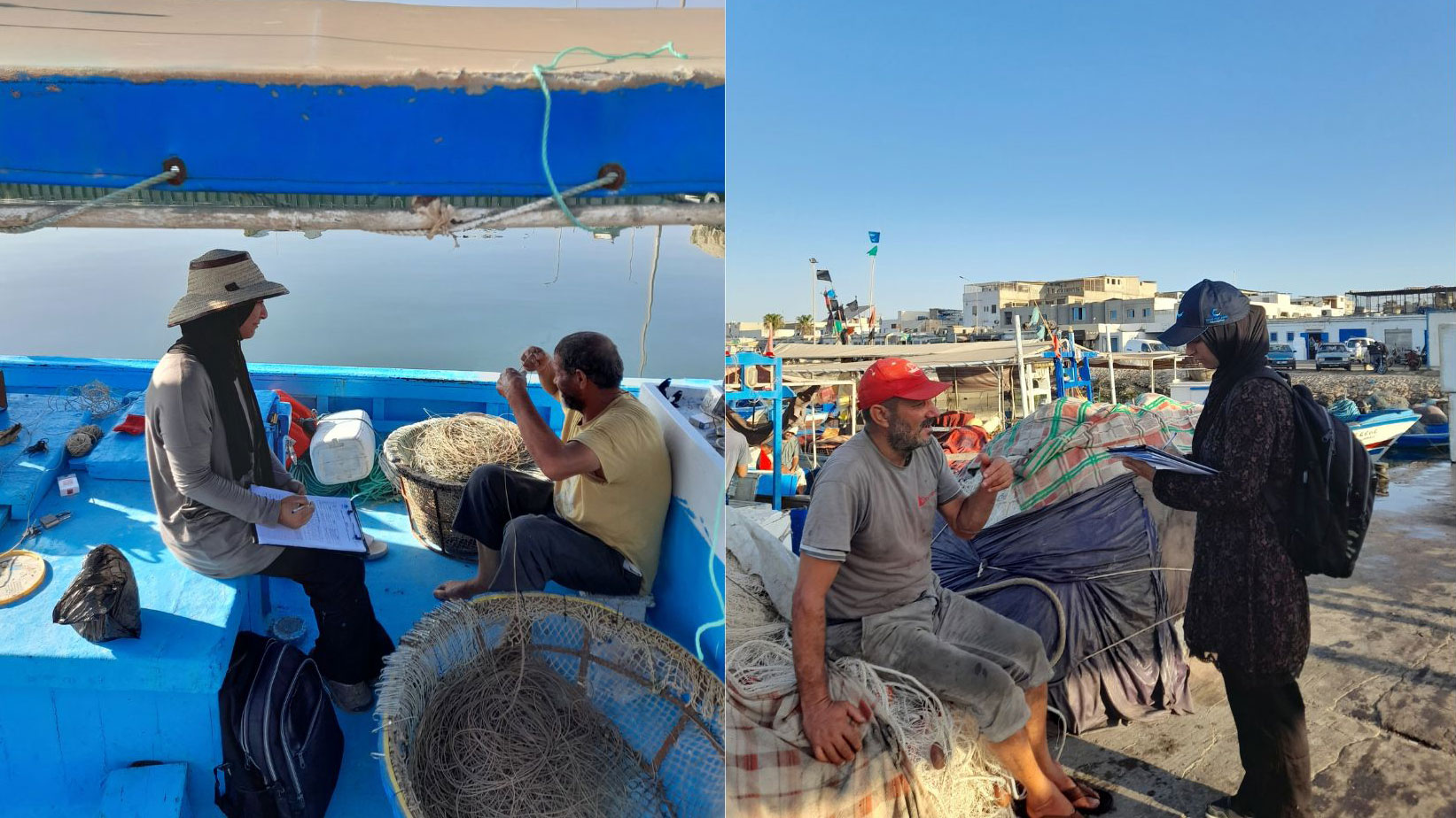
Conducting the questionnaire with fishers in the ports. Photo © Rihab Louhichi
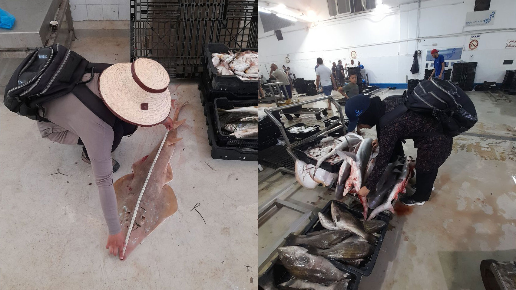
Examination of Landings, Identification of species and taking measurements. Photo © Rihab Louhichi