Impactful Ocean Storytelling Using Novel Digital Tools
In our last update, I shared some of the challenges we faced at sea, as we tried to catch the elusive smooth hammerhead sharks off southern Portugal. Despite our best efforts, the young hammerheads continue to slip beyond our reach — living up to their reputation as one of the ocean’s most elusive residents.
Therefore, while we continue our tagging efforts, we are also actively broadening our approach. This includes compiling a comprehensive database of shark sightings from recent years, in collaboration with local maritime tourist operators, and testing the efficacy of drone surveys for aerial detection, with the help of friends from the Azores biotelemetry team. We have already begun flying pilot transects along priority stretches of coastline to detect surface-swimming sharks more efficiently and to refine the survey protocols we hope to implement throughout the next field season.
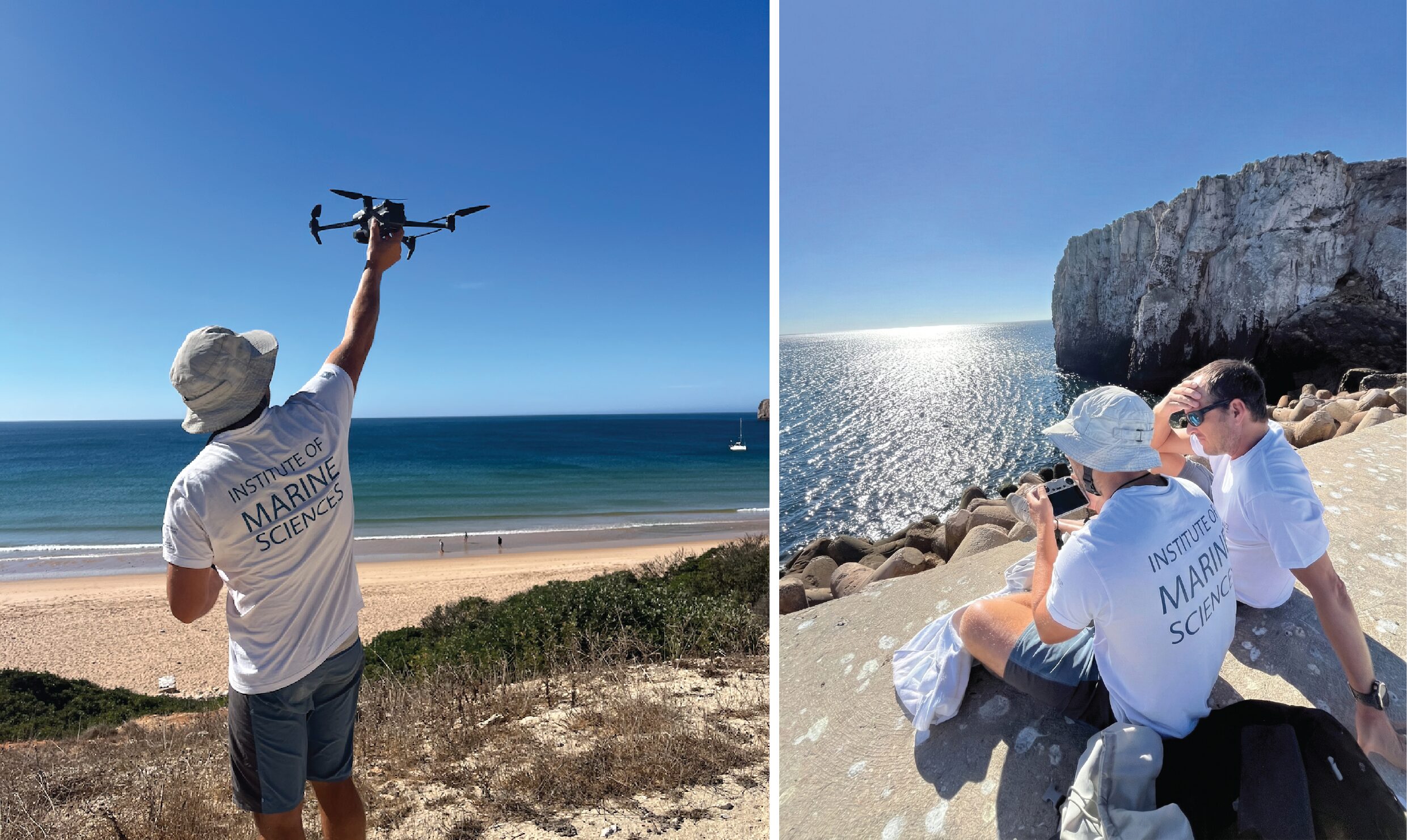
Pilot drone surveys in Sagres. Left: Robert Priester (Azores biotelemetry team) kindly lending his piloting skills and launching the drone from shore. Right: Robert operating the drone with David Abecasis, who leads our CCMAR field team. These early flights are helping us assess how aerial imagery can improve shark detection and provide additional behavioural insights. Photos © Miguel Gandra
However, this process of adapting our methods and waiting for field data highlights a parallel challenge in marine conservation: acquiring complex ecological data, such as from biologging and biotelemetry, is only half the battle. The other half is communicating it effectively. Data from animal tracks or environmental sensors, while incredibly rich, are often abstract and difficult for non-specialists to interpret.
That’s where science communication comes in. And recently, a new suite of digital tools has been helping to build that bridge. Biotelemetry studies generate vast datasets on animal movement. Instead of presenting these as complex series of maps or graphs, it is now easier than ever to create interactive, data-driven visualisations that translate thousands of data points into clear visual narratives. This allows us to show, for instance, how an animal’s movement patterns change over time, revealing habitat use or migratory journeys in a format that is both intuitive and engaging.
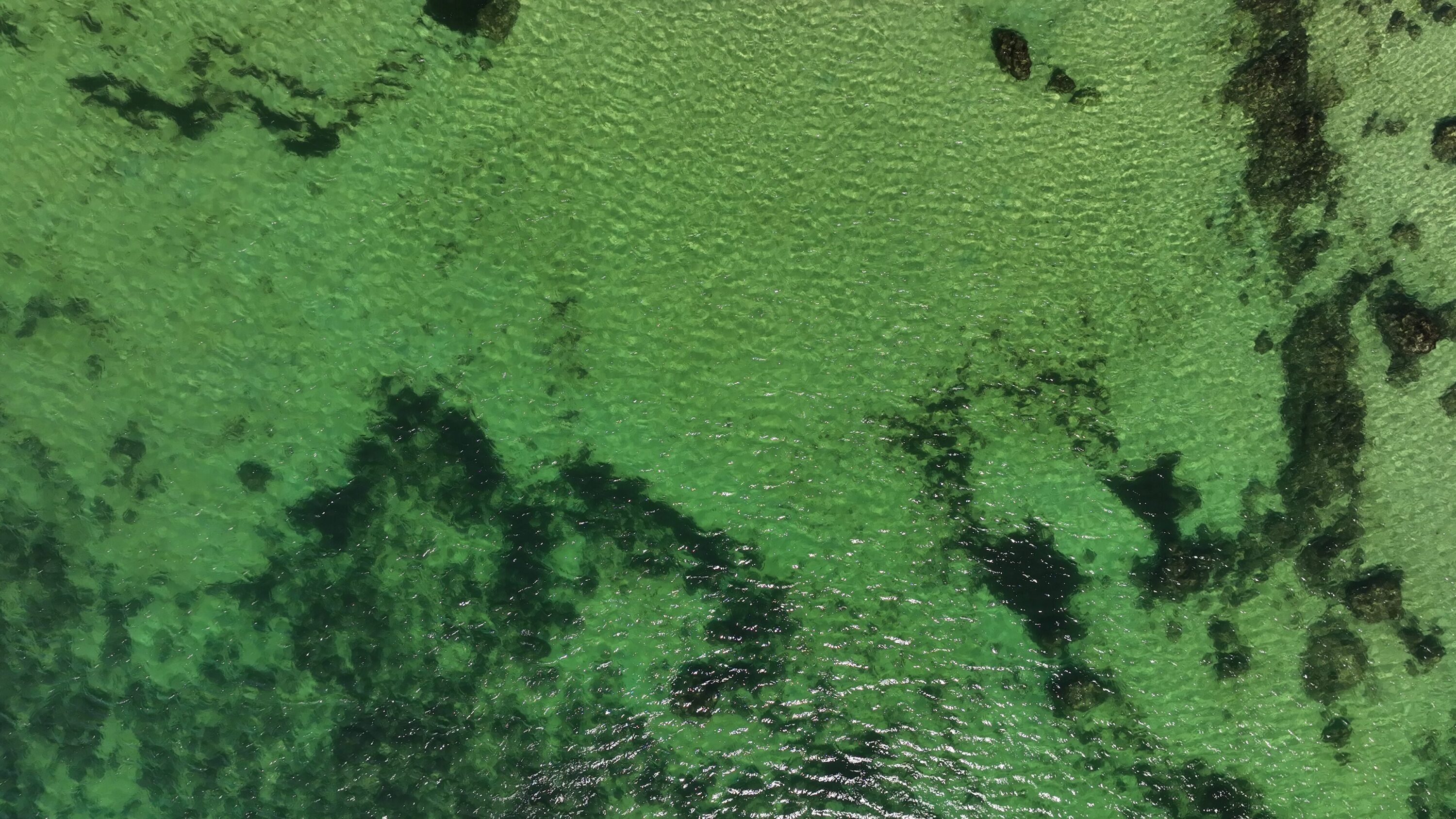
Example of the wide-angle perspective provided by drone surveys, used to map surface features, identify environmental cues, and help guide our search strategy. Paired with telemetry data, this high-resolution aerial imagery offers complementary insights into shark habitat use and can also be integrated into impactful digital visualisations to communicate research more effectively. Photo © Robert Priester
Using 3D models and augmented reality (AR), we can also now move beyond static images. A user can explore a scientifically accurate, animated shark model and place it into their surroundings using only a smartphone. Marker-based AR goes a step further — by scanning a scientific poster or museum display, visitors can unlock hidden digital layers that transform static exhibits into interactive experiences. With the growing accessibility of computational power and graphics capabilities, all of this can now be achieved using free, open-source tools.
The goal is not to simplify the science, but to make it more understandable and impactful. By translating our data into these dynamic formats, we can more effectively communicate our research to diverse audiences — from schoolchildren to policymakers.
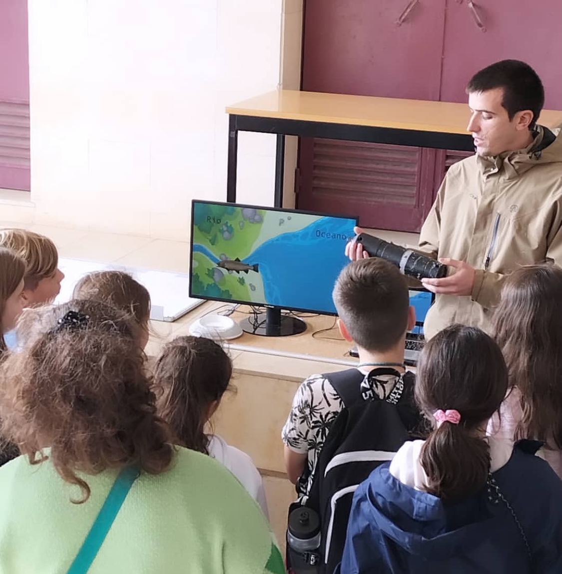
Engaging the next generation: Explaining the principles of acoustic telemetry to young students at a Marine Science Fair hosted by CCMAR. Using interactive animations helps make complex scientific concepts tangible and exciting. Photo © CCMAR Communication Unit
While our fieldwork continues, we believe this parallel effort in science communication is essential. To demonstrate the potential of these tools, we have launched a digital showcase featuring interactive examples. You can explore these digital tools in action here.
Ultimately, our aim is to make the science behind shark conservation more tangible, engaging, and accessible — helping more people connect with the remarkable lives unfolding beneath the surface.
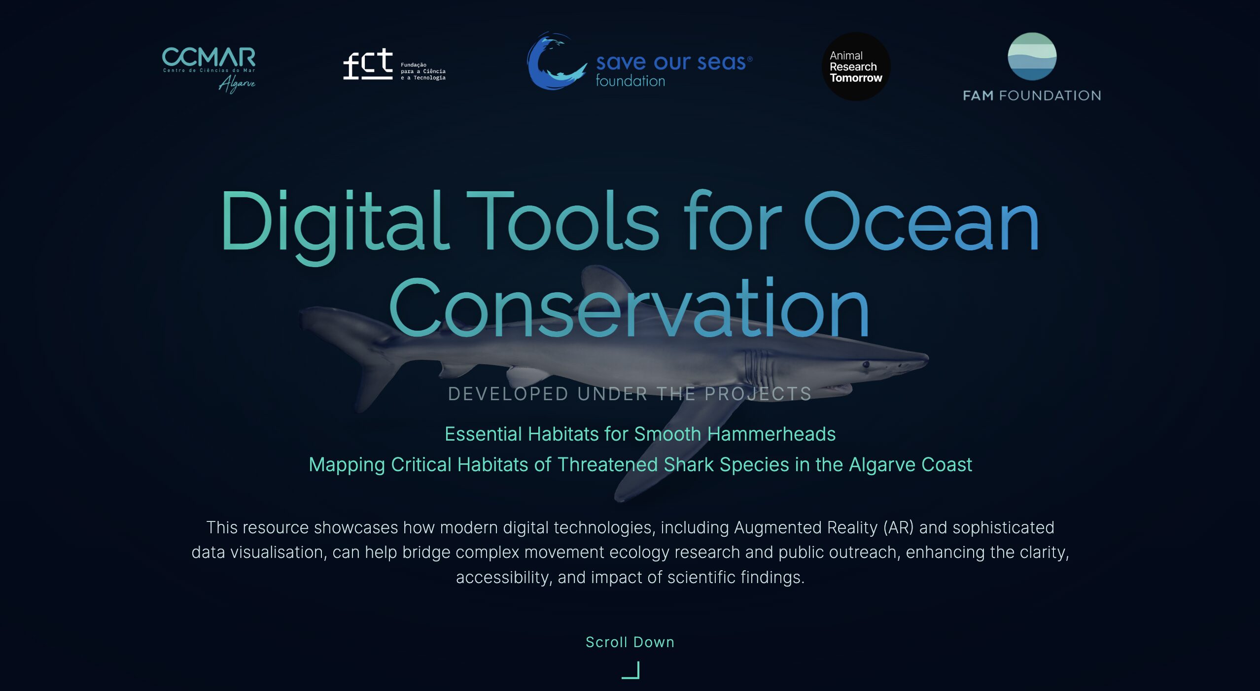
A glimpse into our digital science communication showcase. This interactive webpage features 3D models and augmented reality experiences, translating complex shark tracking data into accessible and engaging visual narratives. Image © Miguel Gandra