Making maps make sense in uncertainty
The impact of our actions on the oceans has consequences for how well they’re able to provide us with the food, climate systems, oxygen and other life supporting resources we need to survive. The gravity of our impacts, from overfishing, pollution, coastal development and climate change, has scientists scrambling to identify the areas most – and least – affected. Their reasoning? If we know where on this planet needs the most help, we can direct our funding and efforts to save the sea there first.
A team of scientists led by Andy Stock from Standford University and including Larry Crowder, Benjamin Halpern and Fiorenza Micheli contended that most of the spatial models that scientists have developed to date to map the impact of human beings on the ocean are riddled with inaccuracies. Their study, published in the scientific journal Conservation Biology in December, tested the effects of 7 different factors at the same time (in contrast with previous studies that looked at 1 element at a time).
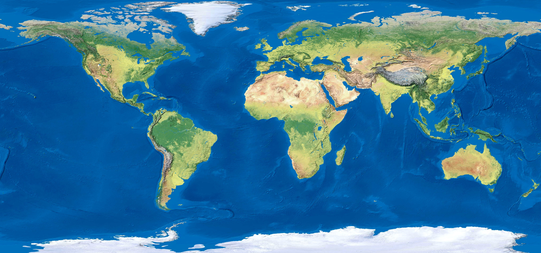
Illustration © Kitnha | Shutterstock
The areas of high impact they identified?
- Northeast Atlantic
- Eastern Mediterranean
- Caribbean
- Continental shelf off northern West Africa
- Parts of the northwestern Pacific
- The Indian Ocean east of Madagascar
- Parts of East and Southeast Asia
- Offshore parts of the tropical Atlantic
- Coastal waters, generally
And the areas of low impact?
- Antarctica
- Central Pacific
- Southern Atlantic
These results highlight regions that, when combined with other socioeconomic and environmental information, can prioritise management and conservation efforts.
You can read the paper here.
**Reference: Stock, A., Crowder, L.B., Halpern, B.S. and Micheli, F., 2018. Uncertainty analysis and robust areas of high and low modelled human impact on the global oceans. Conservation Biology.